Qualitative & Quantitative Monitoring
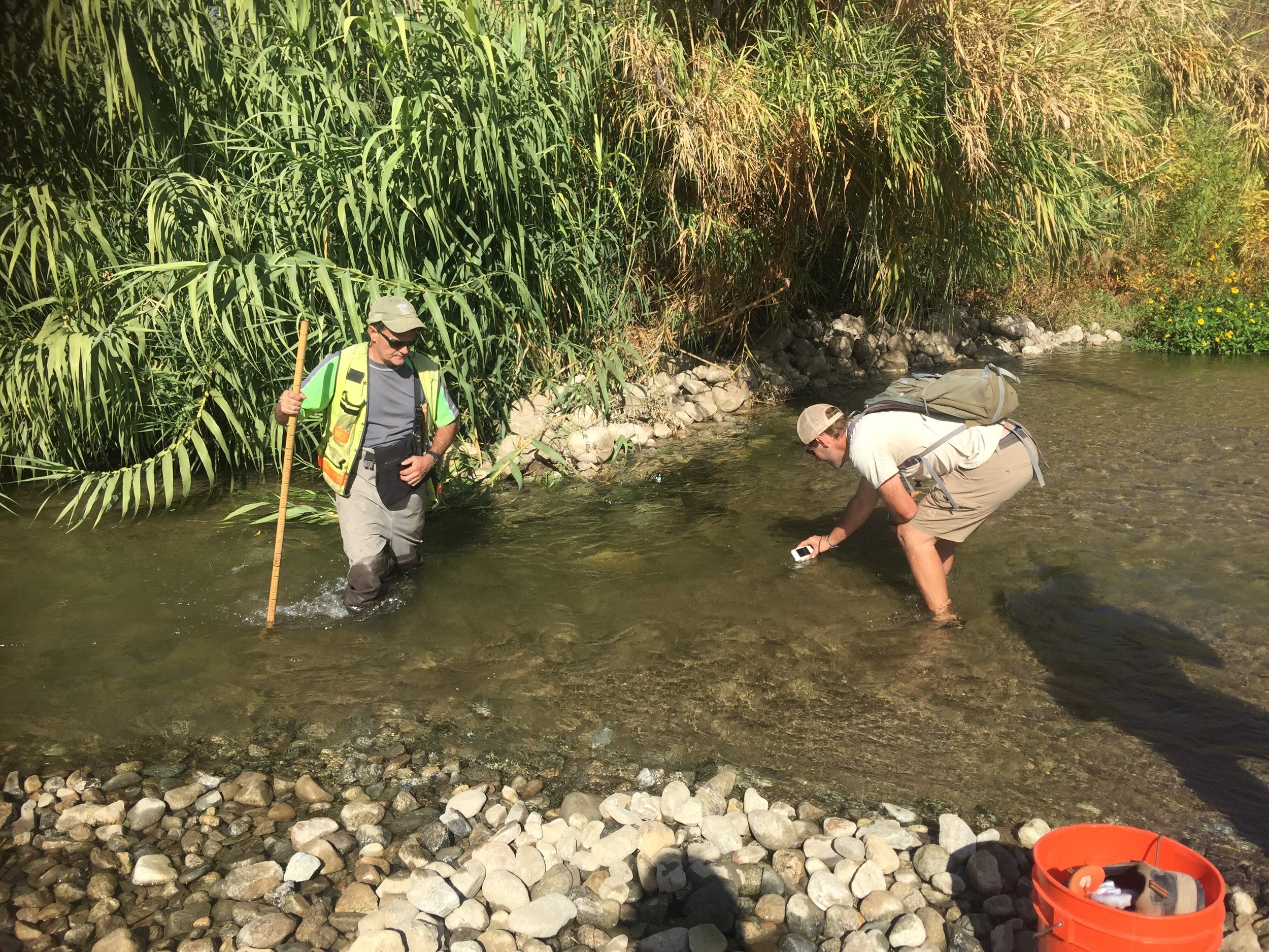
RECON conducts qualitative and quantitative vegetation monitoring to document restoration progress and determine if project performance standards are being achieved. Quantitative vegetation sampling may include point intercept vegetation transect monitoring, California Rapid Assessment Method (CRAM) sampling, or other industry recognized methods. Qualitative monitoring is conducted by all on-site personnel to ensure the project is heading towards long-term sustainability.
Project Example: Santa Ana Sucker Fish Habitat Enhancement
Focus: Sensitive species and resources mitigation
Location: Santa Ana River main stream and tributaries, Riverside County and San Bernardino County, CA
Project Client: U.S. Army Corps of Engineers
Collaborators: Santa Ana sucker ichthyologists, U.S. Fish and Wildlife Service, Aspen Environmental Group, and the San Bernardino Valley Municipal Water District
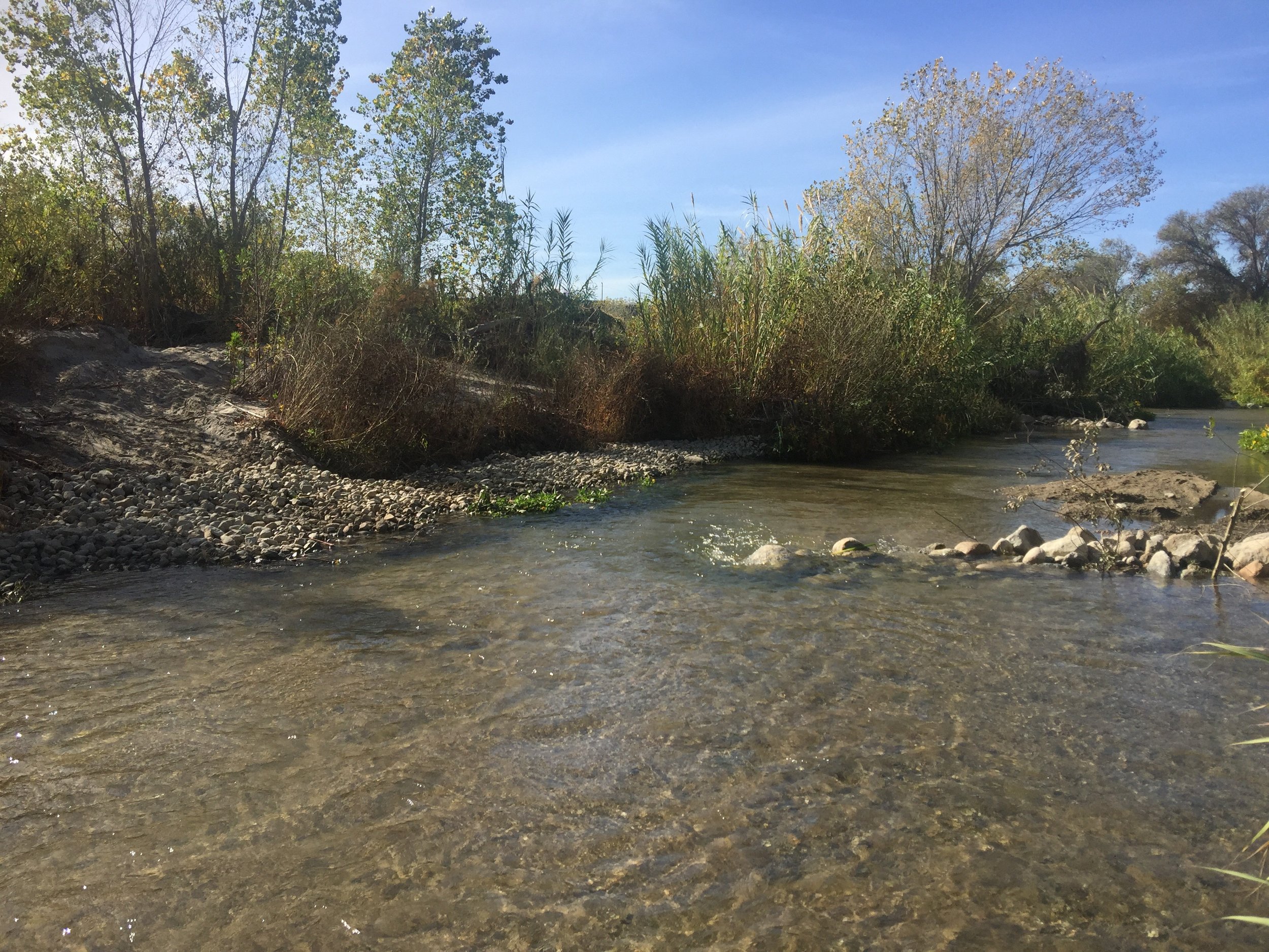
This six-year project included design and implementation of coarse river substrates (gravel/cobble/boulders) to promote scour of finer substrates and sustain a network of large substrate exposure on which the fish depend. High-flow years have significantly affected the enhancement structures which will receive a second/final round of adaptive management construction.
To monitor the changes to the riverbed, RECON captured high-resolution aerial images twice per year using our UAV (drone). Aerial images were used to map the substrate and allowed the project team to quantify changes and focus remedial efforts in areas that were most vulnerable during high flows. To maximize effectiveness and industry knowledge, RECON and Aspen Environmental Group have conducted both protocol and innovative surveys to track fish populations and document the resiliency and effectiveness of the various enhancement strategies.