
GIS & UAV
RECON uses the most up-to-date ArcGIS software to extend our spatial analysis capabilities, streamline data management, improve project efficiency, and to offer our clients digital data in industry-standard formats for Geographic Information Systems (GIS).
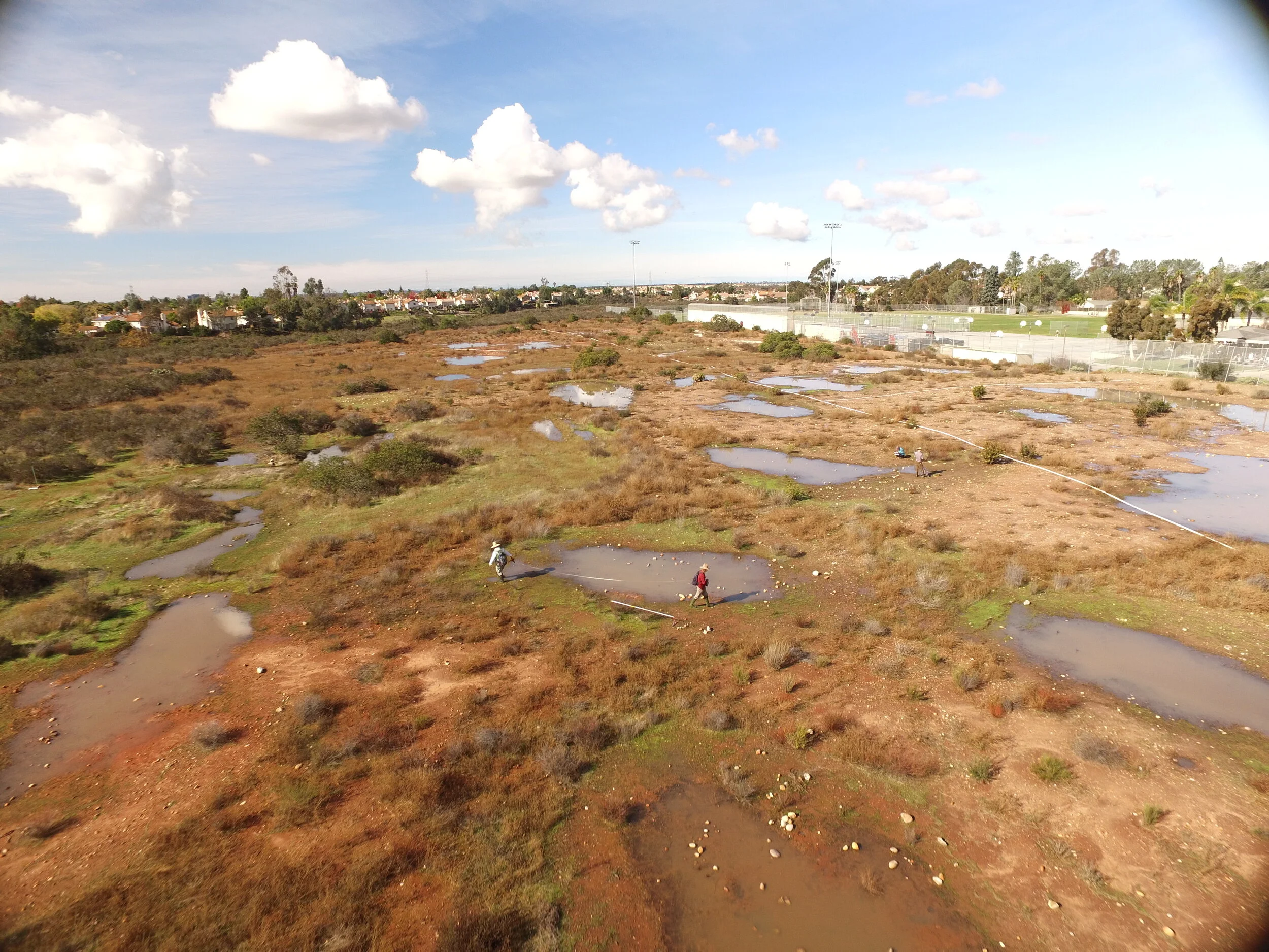
RECON provides Unmanned Aerial Vehicle (UAV or drone) surveying and mapping services to assist clients with environmental compliance, ecological habitat restoration, and land planning needs. UAV technology provides a cost-effective alternative to conventional platforms for acquiring high-resolution data such as aerial photographs, topographic contours, video, digital terrain, and surface models. Habitat restoration applications of this technology include remote mapping of vernal pool ponding extents, hydrological modeling of vernal pool watersheds, surface flow, inlets, outlets, and minimum/maximum pool depths. RECON operates under a Part 107 Airmen Certificate from the Federal Aviation Administration for commercial UAV operations and has experience with obtaining operational waivers by demonstrating our ability to fly safely using alternative methods.
Geographic Information Systems (GIS) Services
Generation and Management
Sub-meter GPS Mapping
Data Conversion and Integration
Database Development
Custom ArcGIS Geodatabase Schemas
Mapping and Cartography
Technical Report and Presentation Graphics
Spatial Analysis
Environmental/Hydrological Modeling and Analysis
Software
Custom Project-specific Data Collection Applications

Unmanned Aerial Vehicle (Drone) Services
High Resolution Photography and Video
Orthomosaic Imagery
Vernal Pool Basin Ponding Extent and Depth Modeling
Hydrological Flow and Micro-watershed Modeling
Digital Terrain and Surface Modeling
Topographic Contours
Stockpile Volume Calculations
Vegetation/Invasive Species Mapping
Image Segmentation and Classification
Metropolitan Airpark Vernal Pool and Burrowing Owl Habitat Mitigation Project


