GIS & UAV
RECON uses up-to-date ArcGIS software to extend our spatial analysis capabilities, streamline data management, improve project efficiency, and to offer our clients digital data in industry-standard formats for Geographic Information Systems (GIS). RECON is experienced in developing datasets according to the latest releases of the Spatial Data Standard for Facilities, Infrastructure and Environment (SDSFIE). We also develop databases consistent with the Federal Geographic Data Committee Contact Standard for Digital Geospatial Metadata.
RECON provides Unmanned Aerial Vehicle (UAV or drone) surveying and mapping services to assist clients with environmental compliance, ecological, habitat restoration and land planning needs. UAV technology provides a cost-effective alternative to conventional platforms for acquiring high-resolution data such as aerial photographs, topographic contours, video, and 3D imaging. Applications of this technology include mapping of vegetation and tree canopies, jurisdictional wetlands, archaeological features, and hydrologic conditions. RECON operates under a Part 107 Airmen Certificate from the Federal Aviation Administration for commercial UAV operations and has experience with obtaining operational waivers by demonstrating our ability to fly safely using alternative methods.
Geographic Information Systems (GIS) Services
Data Generation and Management
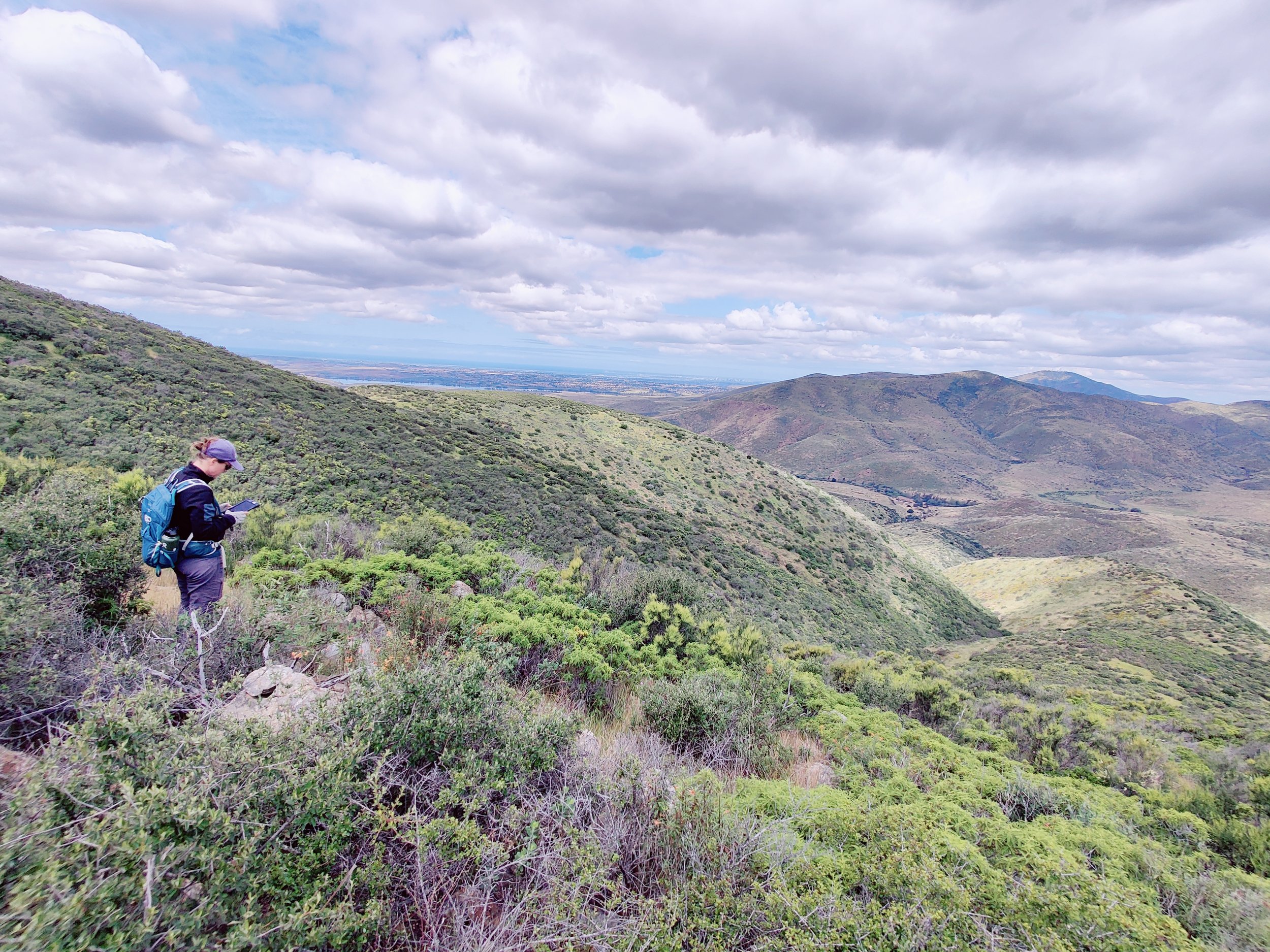
Sub-meter GPS Mapping
Geocoding and Remote Sensing
Database Development
ArcGIS and SDSFIE Geodatabases
Data Conversion and Integration
Mapping and Cartography
Spatial Analysis
Environmental Modeling and Analysis
Software
Custom Project-specific Data Collection Applications

Unmanned Aerial Vehicle (Drone) Services
High Resolution Photography and Video
Ortho-rectified Aerial Photography
Hydrological Flow and Micro-watershed Modeling
3D Terrain/Object Modeling
Topographic Contours
Stockpile Volume Calculations
Vegetation/Invasive Species Mapping
Image Analysis/Classification

Featured Projects


